
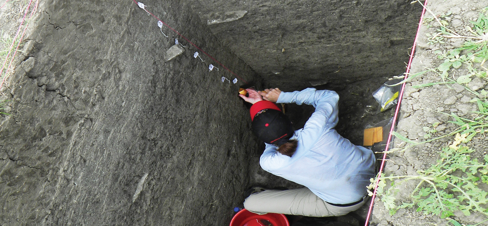
Kathleen Morrison, the LandUse6k global coordinator, collects sediment samples for paleoenvironmental analysis. (Photo courtesy Kathleen Morrison)
Researchers in the Department of Anthropology have joined dozens of scholars across the globe to form LandCover6k, a project dedicated to reconstructing both land cover, or vegetation, and human land use over the past 6,000 years. As part of this project, the LandUse6k working group will examine the latter. Here’s a breakdown of LandUse6k and why it’s important.

What LandUse6K is
Based in the University’s Program on the Global Environment, LandUse6k is a five-year endeavor examining land use data from around the world to better understand humans’ role in climate change.
Kathleen Morrison, the Neukom Family Professor of Anthropology and chair of the department, leads LandUse6k, charting how people have used the land. Calling the project “an insanely ambitious effort,” she says, “I think one of the big stories we’re going to find is that there’s a deeper human impact on the environment than what has been previously recognized.”
Other University-affiliated researchers in the land use working group include coordinators Alice Yao, AB’99 (Anthropology), an assistant professor at UChicago; Andrew Bauer, AM’03, PhD’10 (Anthropology), an assistant professor at Stanford; and Laura Popova, AM’00, PhD’06 (Anthropology), an honors faculty fellow at Arizona State University; as well as data manager Emily Hammer from the Oriental Institute. Morrison and her team will also contribute to the LandCover6k track.
What land use is
The five most basic categories of land use, as defined by the project’s researchers, are (1) no human use; (2) hunting and gathering; (3) farming; (4) raising livestock; and (5) mining and other extractive industries and dense settlement.
Morrison and her research team will create more detailed categories. In October 2015 they met in Paris for a two-day classification conference and workshop. “That’s our big job,” she says. “Once we get our classification system, we’ll start making maps to plot out historical land use.”
How they will do it
The researchers will use evidence from archaeology, history, and historical geography, social science disciplines not often incorporated into scientists’ models on climate change. They’ll examine land use that might significantly affect the earth system, including animal grazing, tillage, landscape-scale burning, irrigation, landscape modifications such as terracing, pyrotechnologies such as metal production, and fertilization.
How the project differs from other climate change studies
“The models are oversimplified,” she explains. “They are based on mathematical equations relating how many people were in a particular area and what they think that did to transform vegetation. But they don’t integrate evidence we have from the fields of history, archaeology, and historical geography about how people organized agriculture.”
Different types of crops—for example, dry versus wet crops, like rice paddies—mean that the same number of people in an area can have a different effect on the land. “We need data-based reconstructions to correct the model-based ones,” Morrison says. “With both land use and land cover data, we can begin to do that.”