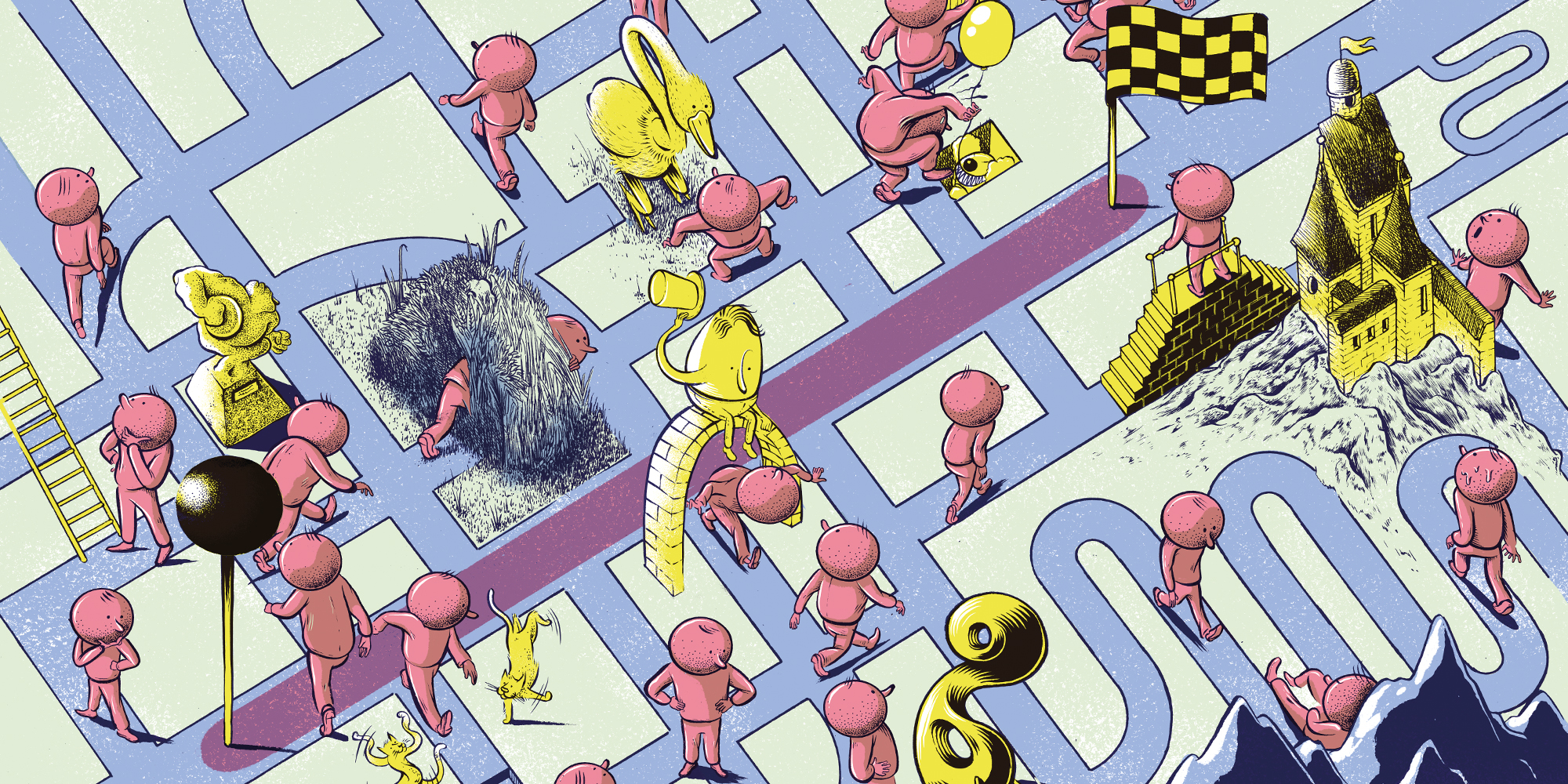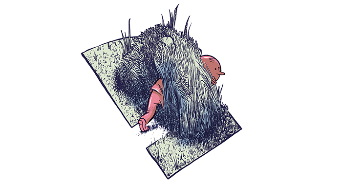
(Illustrations by Renaud Vigourt)
Finding our way in the age of GPS doesn’t have to mean sacrificing serendipity.
From the book:
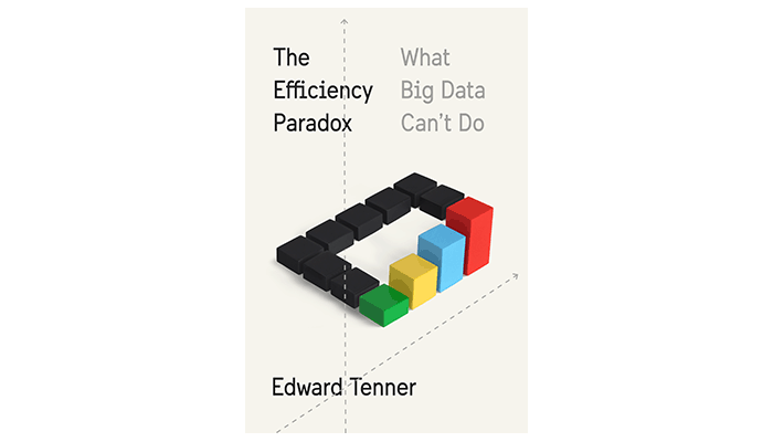
The Efficiency Paradox
by Edward Tenner
Copyright © 2018 by Edward Tenner.
Published by Alfred A. Knopf, an imprint of The Knopf Doubleday Publishing Group, a division of Penguin Random House LLC.
The master rhetoricians of ancient Greece and Rome taught what has ever since been called the method of loci, or places. The orator or student imagines a house with a number of rooms, or in some variants a walled city. Some systems even use the human hand. Each room would be furnished with objects representing the ideas or facts to be remembered or narrated.
The idea of the memory palace has gone in and out of fashion and is now a favorite technique of the revived sport of memory competition. Memorizers are usually advised to choose a familiar building, but the technique also seems to work with virtual ones. A pure textual outline is a less efficient way of memorizing facts than a set of connected images.
If our minds grasp knowledge in such a spatial way, what does the electronic efficiency of GPS—ever improving, ever more depended on—imply for our ability to navigate our world? A growing number of researchers—geographers, neuroscientists, psychologists, anthropologists, and others—have misgivings about the effects of electronic aids on spatial literacy.
There is no disputing the benefits of geographic efficiency. With the US Defense Department’s release of accurate military Global Positioning System (GPS) location services to the public, following authorization by President Bill Clinton in May 2000, and the rise of smartphones a few years thereafter, the sense of location of a large part of humanity has changed radically.
Today it is easy to pinpoint our locations by coordinates within a few meters and to construct itineraries for travel from virtually any location on a continent to any other. Visitors to a city can see annotated maps of their real-time surroundings with restaurants, museums, and other attractions, and upload their own photos. Motorists 50 years ago might visit an auto club office and get a set of strip maps customized with their route and notices of construction and other delays; today such routings are available instantly. Travelers can even preview actual buildings photographed by roving camera cars. Travel appears to be reaching a level of efficiency few imagined even in the 1990s.
But what does efficient travel really mean, and what may we be losing as well as gaining in the GPS era?
The limits of all representations of geographic reality bring us to the complementary skill of wayfinding, which might be called way-losing. Waylosing is productive and instructive disorientation, distraction, wild-goose chases, dead ends. Google Maps and Google Street View can still be used for exploration, but the Google mission statement, “organize the world’s information and make it universally accessible and useful,” says nothing about randomness or curiosity or the value of occasionally disorganized information. As writer Ari Schulman has noted, the conditioning of our expectations by representations did not begin with electronic maps or online image sharing. Even in the heyday of print, it was a challenge to visit sites like the Grand Canyon without having the experience diminished by the familiarity of guidebooks.

There is nothing like the “lost art of getting lost,” as an often-repeated phrase puts it. Part of the enjoyment of the old-style road trip, as celebrated in books and films, was encountering people and sights that were not described on any map or in any guide. The goal of Silicon Valley seems to be the creation of a personalized, dynamic, ultimate guidebook to the world. Even its definition of serendipity is another description for accessing useful existing knowledge.
Consider the scenario envisioned in 2010 by Eric Schmidt, the CEO of Google, who imagines walking down the streets of a foreign city and having information searched automatically: “‘Did you know? Did you know? … This occurred here. This occurred there.’ Because it knows who I am. It knows what I care about. It knows roughly where I am.” And he continues that “autonomous search—this ability to tell me things I didn’t know but am probably very interested in is the next great stage … of search.”
That autonomous search can now be implemented by so-called augmented reality, the overlaying of images, video, GPS, and other information in real time on images of places as displayed by cameras on the screens of smartphones and other devices. Some applications, like the Pokémon Go game, a virtual treasure hunt for Pokémon characters, may help people get productively lost if they are not too single-minded about it. On the other hand, in their quest for the characters, players often seem riveted on the screen rather than the surroundings through which the game takes them.
Old-style waylosing was different. You could misread a map or take a wrong turn; or a bridge on a carefully planned routing might be unexpectedly closed without good detour signs. Today there is almost a getting-lost industry. The art is a subject of a book by the writer Rebecca Solnit, of a conference by the New America Foundation, and of frequent articles and blog posts. Most people seem to be able to recall a productive incident.
Yet being lost is not so easy. As Solnit observes, today’s urban and suburban hikers and campers no longer have the same familiarity with nature and wilderness skills as 19th-century people who had grown up in the countryside. Getting productively lost on road trips and in cities also needs preparation—not in the sense of finding one’s way back but in being able to notice unexpected features and to meet people unaccustomed to travelers. There is a special thrill in seeing something not famous in guidebooks.
If travel means ticking off a bucket list of sights efficiently, getting lost can be only a distraction. But many of the most memorable sights are those unfamiliar from the books. When I was an exchange student in Heidelberg in the late 1960s, I saw the castle and other landmarks and lived in a converted patrician house in the center of town across from the historic university center. But what I remember most vividly was a side trip to have a pair of shoes repaired. It was a visit to another century, down a back alley and up a flight of stairs, where I met a small, bent, elderly man who removed the heels and saw that to save money on rubber the manufacturer had filled them with wooden inserts. I was mildly humiliated when the cobbler cackled “Ami, Ami,” using the Germans’ semi-insulting word for Americans, the equivalent of “Kraut”—perhaps a foretaste of the approaching decline of US shoe manufacturing. Yet in writing my dissertation on 19th-century German history, I discovered that the shoe repairer and his little shop and the balcony in a centuries-old courtyard made the artisans I was studying much more vivi d.
Waylosing is thus efficient in its inefficiency, just as conventional travel has become inefficiently efficient. There are now not only conventional guidebooks but audiotours and smartphone guides in almost all major museums. Yet the experience—like the first encounter with often-reproduced monuments like the Grand Canyon—can be anticlimactic because of saturated exposure.
For centuries seeing an original work in a foreign museum was a privilege of affluent travelers who had probably seen at best a black-and-white engraving; now mass airline travel fills the great collections. The paradox is that because of crowds equipped with smartphones and digital cameras, and because of the demands of conservation and security, it can be hard to appreciate a work at close range. On the other hand, color art photography and reproduction have improved immensely; a growing number of museum collections are available freely as high-definition images online. These images are often made with lighting apparatus that would damage the objects with regular use but that is allowed for a single session. Museum website viewers can also enlarge details of objects beyond the capability of a normal magnifying glass. And as one art museum director observed to me as we toured an exhibition, younger visitors are seeing the objects only through the devices they are using to record them—even though none of these images will approach the quality achieved by the museum’s professional photographers.

The inefficient wanderer, on the other hand, will be using his or her time more efficiently by discovering what is less documented, or even undocumented. Those will often be the memories that persist longest. Schulman quotes the geographer Yi-Fu Tuan’s comment that when we at last encounter the canonical sites, “the data of the senses are pushed under in favor of what one is taught to see.”
Self-driving cars also would make it especially difficult to get lost. A human driver can take a turn on a hunch, can slow down in time to visit an unusual sight. It is not clear how well autonomous vehicles will be able to react to spontaneous directions. Will a traveler be able to say, “pull over at the antiques shop with the red sign”? And autonomous vehicles will not have the local knowledge of taxi and limousine drivers whose personalities and interactions are wonderfully unpredictable.
The Silicon Valley philosophy fails because private life cannot be run as a business, and even businesses can benefit from unbusinesslike accidents. The algorithmic approach to life can be helpful because the future is often like the past, yet reality has not lost its power to surprise us in ways that enhanced reality can never anticipate.
Global Positioning Systems need not be a threat to real efficiency. The next generation, which will combine signals from land stations with those of satellites to achieve accuracy of inches rather than yards, will make devices more useful than ever. For users of maps and atlases, it is much more efficient to know coordinates instantly than to have to thumb through indexes. GPS might be abused by some hikers and climbers, but it is still a godsend for others.
One problem of Silicon Valley, as of some of its critics, is a binary outlook that appears to require a choice between old and new. This is understandable on both sides. The industry, with its high failure rate, needs a vision of change that will sweep away the old. Some opponents of technocracy, conversely, are reluctant to concede any real net benefit. A pragmatic view is to see information technology as a series of complementary layers and adding to our capabilities. The United States military, which took the lead in developing satellite navigation during the Cold War, is also recognizing it. The US Naval Academy, which discontinued teaching celestial navigation in 1998 after a curriculum review, restored it to the course of study in 2010. While even the present GPS is more accurate than traditional methods by orders of magnitude—sextant readings can err by a mile and a half—the risk of disrupted GPS, including defensive disabling of the system in case of enemy attack, is too great to abandon a backup capability, navy senior officers have concluded.
Our challenge is to combine preindustrial wayfinding, classical printed maps, and the newest navigational technology to realize the best of each mode. The science of geography, which has studied these technological transitions, is a potentially ideal guide, but it has long faced challenges in the United States.

A revival of interest in spatial literacy, from the earliest school years through graduate studies, is long overdue. And it does not have to wait for a national commission, multimillion-dollar planning grants, curricular guidelines, and the rest of the apparatus of educational change. Teaching can certainly help in spatial awareness, but the skills of wayfinding and waylosing are within everybody’s reach. It begins with the family. Even a shopping trip to a supermarket can be, with a little preparation, a highly educational experience. Why are food stores located where they are? Why is produce nearly always near the entrance, and milk far from it? We are all instinctively geographers. We don’t learn to navigate space efficiently. It often takes trial and error.
It is an encouraging sign that more parents are choosing to raise their children in cities. Observing the city, learning about its layout, the zones of its economic activities, its transportation, can be a visual education itself. But suburbs—especially older ones—have stories of their own to be discovered.
An ordinary automobile or bus ride can be packed with information. The automotive industry has promoted back-seat entertainment systems to keep children occupied, and there is nothing necessarily wrong with them, but children (and adults) should experience their world more and tunnel through it less. There is an in-car gaming system called Mileys with location-sensitive features. It isn’t hard to imagine that GPS-equipped software could be used to help children learn more about what they are seeing on a trip, and to involve parents.
There is also much to be said for lower-speed transportation. As a visitor to France, I have admired the TGV railroad lines that now travel at up to 320 km/200 miles per hour. Given airport congestion and security delays, they are often effectively faster than flying. But they change the experience of travel. When I first took a TGV, I noticed two things.
First, to sustain the extra-high speeds, the lines had been cut through the countryside as directly as possible, avoiding the natural contours and roads usually paralleled by conventional railroads of the 19th and 20th centuries. This is a long-standing trend. In the Princeton, New Jersey, area, the main line between New York and Philadelphia originally followed the sometimes meandering route of its predecessor, the Delaware and Raritan Canal. During the Civil War, the present direct right-of-way was laid out to the east. A new human landscape of factories and cities grew up around it (John Stilgoe has described the landscape in his book Metropolitan Corridor: Railroads and the American Scene [Yale University Press, 1985]), and enough remains to record that history.
The TGV, with far fewer stops and even straighter layout than 19th-century express lines, loses in sightseeing efficiency what it gains in destination efficiency. The first-time traveler, trying to focus out the window at the usual distance, sees only a blur; the view has to be extended outward at least a mile or so to prevent dizziness, so contact with surroundings is partially lost. In fact, when high-speed lines are built over new and more direct rights-of-way, they are likely to blight the beauty zones that travelers most want to see. This has not always been the case. The rescued Settle–Carlisle railroad line linking England and Scotland, built at prodigious expense in funds and human life for main line service in the Victorian era, was still indirect enough to enhance rather than harm the landscape of the Yorkshire Dales, but the planned H2 high-speed train is now feared as a threat to another natural wonder, the Chiltern Hills.
In considering travel and the natural and human landscape, we see the ambiguity of the idea of efficiency. One kind is measured by the directness and speed of a trip, so that the ultimate goal may be to eliminate any sense of a journey at all. Airlines flying above the clouds, interstate highways, and high-speed railways all began to break our connections with the landscapes through which we move. The supposed utopia of watching videos in a self-navigating vehicle is the outcome of a process at least a half century old.
As we have seen, though, there is more to efficiency than directness. Systems vulnerable to natural hazards or malicious attack with no human backup can hardly be considered efficient in the long run. Technology that leaves no place for human skills, that even reflects suspicion of them, is paradoxically dependent on the prowess of fallible programmers. Technology that isolates us from the environment does not let us use our travel time to our greatest advantage.
There is still reason to be optimistic about travel. Location-based mobile computing can help us avoid its frustrations. It can be pro-serendipitous, help us search for information about our surroundings (as opposed to receiving it passively), and help us share our discoveries. GPS can be skill enhancing, not deskilling, but only if we retain our ability to navigate the old-fashioned, inefficient way without it. Technology, if used rightly, can exercise our built-in GPS rather than allow it to atrophy.

Edward Tenner, AM’67, PhD’72, is a distinguished scholar of the Smithsonian’s Lemelson Center for the Study of Invention and Innovation and a visiting scholar in the Rutgers University Department of History. His essays and reviews have appeared in the New York Times, the Washington Post, the Wall Street Journal, the Atlantic, and the Wilson Quarterly, and on Forbes.com.
